URGENT - IMMEDIATE BROADCAST REQUESTED
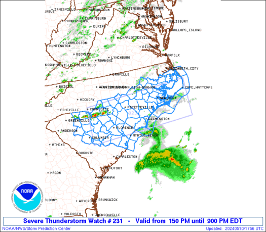
Severe Thunderstorm Watch Number 231
NWS Storm Prediction Center Norman OK
435 PM EDT Tue May 19 2026
The NWS Storm Prediction Center has issued a
* Severe Thunderstorm Watch for portions of
Central Indiana
Western Ohio
* Effective this Tuesday afternoon and evening from 435 PM until
1000 PM EDT.
* Primary threats include...
Scattered damaging wind gusts to 70 mph likely
Isolated large hail events to 1 inch in diameter possible
SUMMARY...Thunderstorms will intensify over central Indiana and
spread eastward through the afternoon, posing a risk of locally
damaging wind gusts.
The severe thunderstorm watch area is approximately along and 60
statute miles east and west of a line from 55 miles northeast of
Muncie IN to 45 miles southeast of Bloomington IN. For a complete
depiction of the watch see the associated watch outline update
(WOUS64 KWNS WOU1).
PRECAUTIONARY/PREPAREDNESS ACTIONS...
REMEMBER...A Severe Thunderstorm Watch means conditions are
favorable for severe thunderstorms in and close to the watch area.
Persons in these areas should be on the lookout for threatening
weather conditions and listen for later statements and possible
warnings. Severe thunderstorms can and occasionally do produce
tornadoes.
&&
OTHER WATCH INFORMATION...CONTINUE...WW 230...
AVIATION...A few severe thunderstorms with hail surface and aloft to
1 inch. Extreme turbulence and surface wind gusts to 60 knots. A few
cumulonimbi with maximum tops to 500. Mean storm motion vector
24030.
...Hart
Read more