URGENT - IMMEDIATE BROADCAST REQUESTED
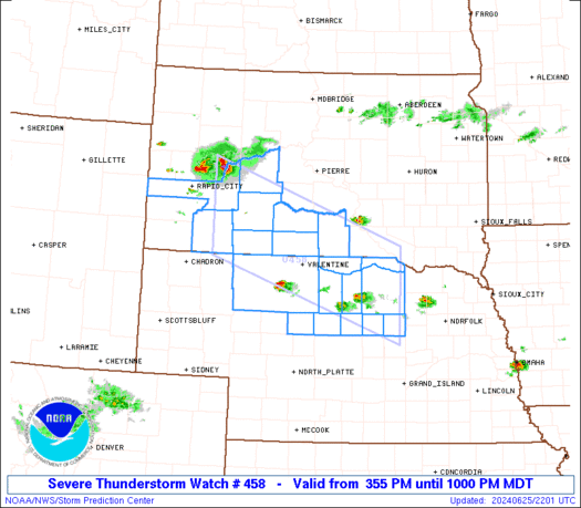
Severe Thunderstorm Watch Number 458
NWS Storm Prediction Center Norman OK
150 PM CDT Sat Jul 4 2026
The NWS Storm Prediction Center has issued a
* Severe Thunderstorm Watch for portions of
Texas Panhandle
* Effective this Saturday afternoon and evening from 150 PM until
900 PM CDT.
* Primary threats include...
Scattered damaging wind gusts to 70 mph likely
Isolated large hail events to 1 inch in diameter possible
SUMMARY...Thunderstorms will continue to develop in a hot and
unstable air mass. The strongest cells through the early evening
will pose a risk of damaging winds.
The severe thunderstorm watch area is approximately along and 40
statute miles north and south of a line from 100 miles southwest of
Amarillo TX to 100 miles east northeast of Amarillo TX. For a
complete depiction of the watch see the associated watch outline
update (WOUS64 KWNS WOU8).
PRECAUTIONARY/PREPAREDNESS ACTIONS...
REMEMBER...A Severe Thunderstorm Watch means conditions are
favorable for severe thunderstorms in and close to the watch area.
Persons in these areas should be on the lookout for threatening
weather conditions and listen for later statements and possible
warnings. Severe thunderstorms can and occasionally do produce
tornadoes.
&&
OTHER WATCH INFORMATION...CONTINUE...WW 454...WW 455...WW
456...WW 457...
AVIATION...A few severe thunderstorms with hail surface and aloft to
1 inch. Extreme turbulence and surface wind gusts to 60 knots. A few
cumulonimbi with maximum tops to 500. Mean storm motion vector
27020.
...Hart
Read more