SPC MD 2037

Follow into
Save into
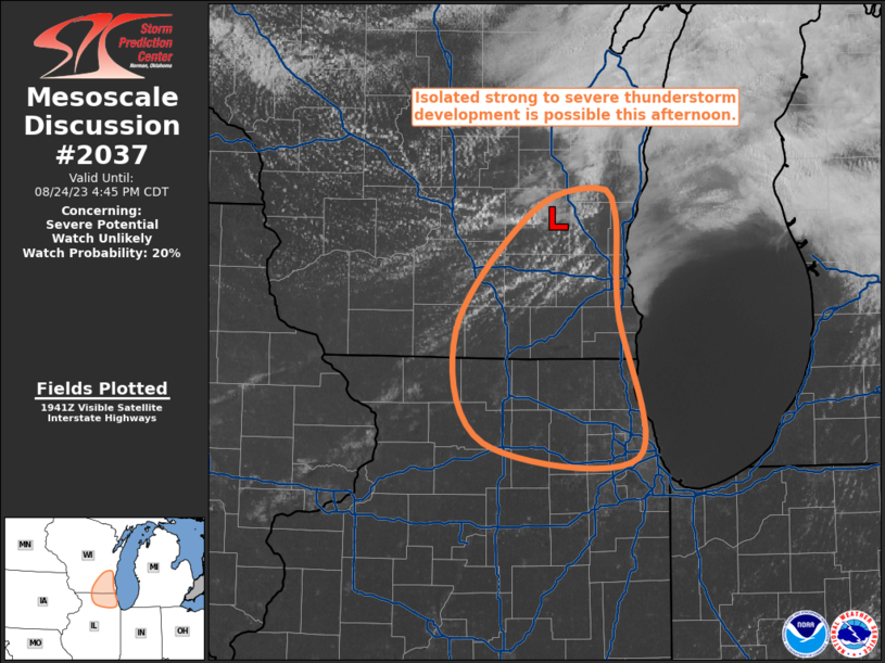
Mesoscale Discussion 2037
NWS Storm Prediction Center Norman OK
0323 AM CDT Wed Aug 19 2026

Areas affected...Northeast Kansas...west-central and central
Missouri

Concerning...Severe Thunderstorm Watch 598...

Valid 190823Z - 190930Z

The severe weather threat for Severe Thunderstorm Watch 598
continues.

SUMMARY...A localized severe weather threat may continue beyond the
scheduled 09z/4 am CDT expiration of Severe Thunderstorm Watch 598,
however a new watch is not anticipated.

DISCUSSION...Thunderstorms continue within a generally east-west
oriented zone across northeast KS/west-central and central MO at
0815z, in association with an expanding zone of low-level warm
advection.  Despite episodic stronger updrafts, a trend towards
diminished intensities has been noted since 07z as convective
overturning takes place.  Latest mesoanalysis depicts weak-pockets
of moderate MUCAPE in the vicinity of the storms, suggesting some
potential for an occasional stronger updraft and a localized risk
for strong winds or hail.  Overall, however, the severe threat
should continue to diminish and a new watch is not expected after
the expiration of WW 598 at 09z.

Across central MO, thunderstorm intensity has also decreased as
storms move towards progressively weaker instability, and this trend
is expected to continue.

..Bunting/Mosier.. 08/19/2026

...Please see www.spc.noaa.gov for graphic product...

ATTN...WFO...LSX...SGF...EAX...TOP...

LAT...LON   39289563 39209362 38819250 38269145 37889131 37609157
            37739244 38369367 38649499 39139553 39289563

MOST PROBABLE PEAK WIND GUST...55-70 MPH
MOST PROBABLE PEAK HAIL SIZE...UP TO 1.25 IN