SPC MD 2030

Follow into
Save into
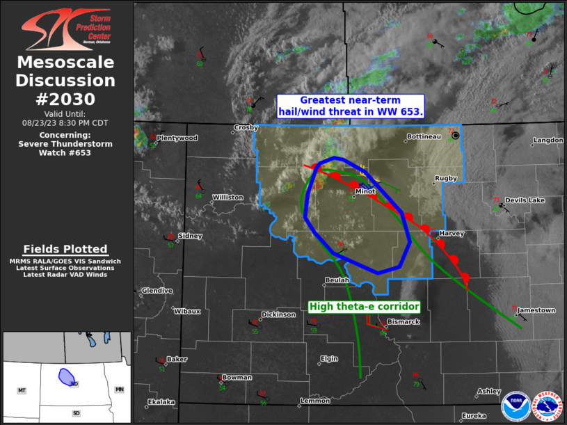
Mesoscale Discussion 2030
NWS Storm Prediction Center Norman OK
0551 PM CDT Tue Aug 18 2026

Areas affected...portions of central Kansas

Concerning...Severe potential...Watch possible

Valid 182251Z - 190015Z

Probability of Watch Issuance...40 percent

SUMMARY...Convective trends are being monitored for the conditional
scenario that supercells develop over the next few hours. Should
this occur, severe wind and hail would be likely.

DISCUSSION...A thermal-induced surface low has materialized across
central KS, resulting in the development of an effective dryline
extending from roughly Rice to Butler Counties, and a weak cold
front drifting southward roughly from Rush County and points west.
Near the low and between these two boundaries, maximized convergence
has resulted in an agitated CU field, with attempts at convective
initiation noted. Thunderstorm development and maintenance is very
uncertain in this scenario, with conditions both favorable and
hostile convection noted. Deep-layer ascent is quite weak across
central KS, with the 22Z mesoanalysis showing appreciable MLCINH in
place, but the combination of strong heating and low-level
convergence may compensate to support supercell development given
the presence of 3000+ J/kg MLCAPE amid 50-60 kts of effective bulk
shear. If supercells develop and sustain themselves, severe wind and
hail may occur, and an instance of 2+ inch diameter hail cannot be
ruled out. Convective trends will continue to be closely monitored
for successful attempts at convective initiation.

..Squitieri/Gleason.. 08/18/2026

...Please see www.spc.noaa.gov for graphic product...

ATTN...WFO...TOP...ICT...DDC...

LAT...LON   38099894 38279929 38419937 38649932 38739920 38879838
            38869751 38729686 38349671 38009679 37909729 37969811
            38099894

MOST PROBABLE PEAK TORNADO INTENSITY...UP TO 90 MPH
MOST PROBABLE PEAK WIND GUST...65-80 MPH
MOST PROBABLE PEAK HAIL SIZE...1.50-2.50 IN